
Nanaimo Pedestrian Crossing Improvement Model
GIS modelling expertise slashed data gathering costs for the City of Nanaimo, delivering informed analysis, useful recommendations, and real-world results.
Client: City of Nanaimo
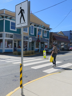
GJD Planning + Design worked with the City of Nanaimo to develop an automated GIS-based model to assess and prioritize locations for pedestrian crossing treatments.
Historically staff would spend several days or more gathering data and assessing intersections to understand if crossing improvements were warranted.
Nanaimo can now compare over 1,300 crossing locations in under 30 minutes. Adding a new crossing location for consideration in the model takes minutes.
The new GIS based-tool, developed by GJD Planning + Design, ranks existing and potential crossing locations on key factors that influence the number of trips taken by pedestrians and their risk of injury, assigning a score representing the level of priority for crossing improvements.
GJD’s solution is saving the city thousands of dollars a year in staff time, improving transparency and decision-making, and delivering regularly updated assessments to Council, stakeholders, and the public.
show lessLike most municipalities in British Columbia, Nanaimo staff have, in the past, manually evaluated individual locations for pedestrian upgrades, often in response to concerns from persistent residents and communities. While responsive to these concerns, this approach requires substantial staff resources, may not be understood by the general public and decision-makers, and does not support proactive city-wide infrastructure improvement planning.
In response to these limitations, and to make its approach to identifying and prioritizing sites for pedestrian upgrades more consistent, efficient, and transparent, the City of Nanaimo has developed a GIS-based model to assess, compare, and prioritize intersections for pedestrian safety improvements.
As a result, the City’s process for prioritizing locations can now help not only City staff, but also the Road Improvement Program, to more effectively allocate its funding to a set of locations where pedestrian upgrades can most successfully reduce pedestrian crashes. In this regard, the City’s prioritization tool can help the Road Improvement Program to achieve its objective of improving road safety for all road users, thereby reducing motor vehicle crashes as well as claim costs.
Margaret Gibbs
Road Safety Engineer
Road Improvement Program ICBC